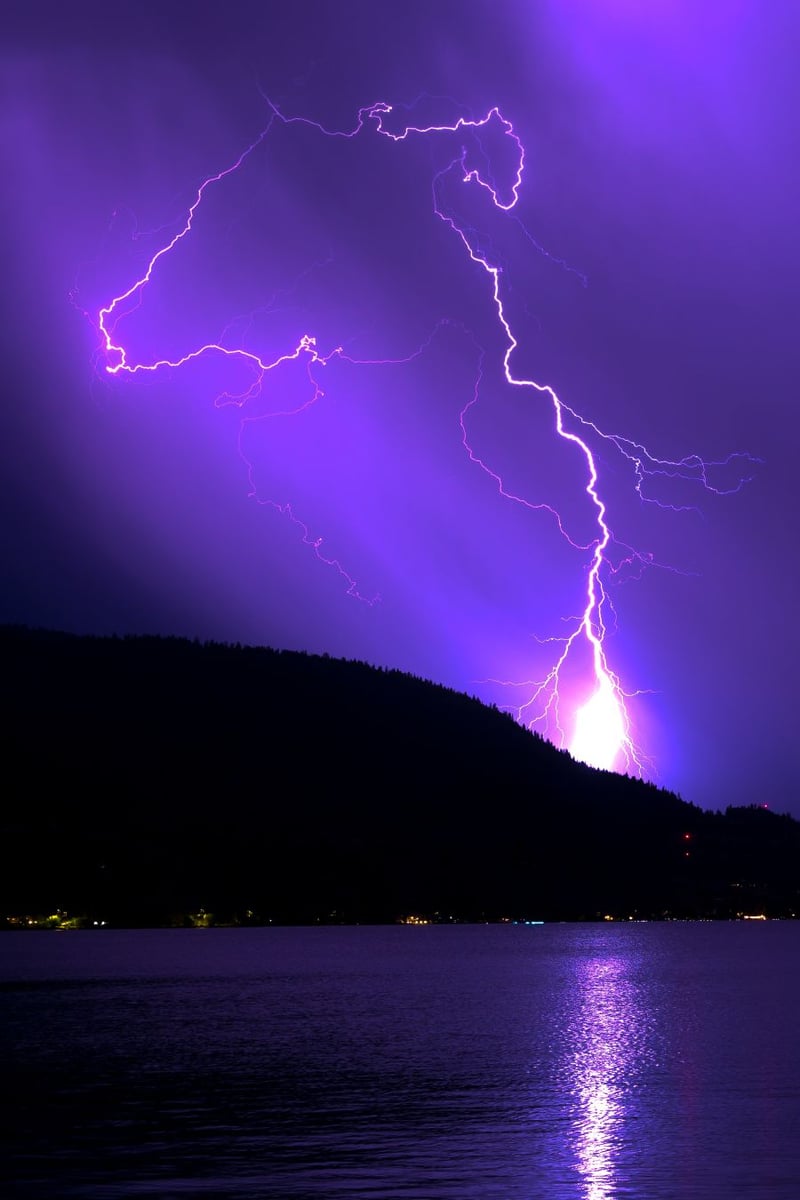
(UPDATE: June 14 @10:30 am) - Hot on the heels of Sunday evening's "Severe Thunderstorm Watch," Environment Canada Monday morning at 9:22 issued another.
The latest Severe Thunderstorm Watch impacts the Okanagan Valley (north Okanagan, central Okanagan and south Okanagan) and includes the following statement: "Conditions today and tonight are favourable for the development of severe thunderstorms that may be capable of producing strong wind gusts, hail and heavy rain."
The alert is said to expire at 1:22 am Tuesday.
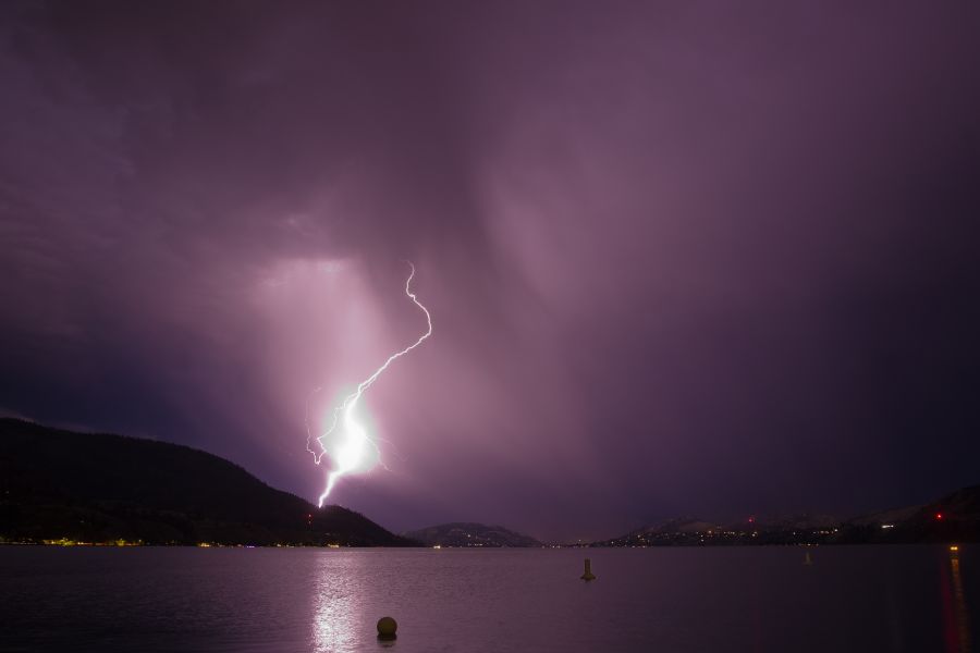
(Original Story: June 13 @ 8:42 pm) - Just as you're winding down from the weekend and getting ready for another work week, along comes Environment Canada with a "Severe Thunderstorm Watch."
The bulletin, issued just after 8 PM Sunday, says that conditions are favorable for the development of severe thunderstorms tonight. Affected areas include the entirety of the Okanagan Valley, Boundary, West Kootenay, Arrow Lakes - Slocan Lake, Kootenay Lake, East Kootenay - North, East Columbia and Yoho Park - Kootenay Park.
And it's not just thunder and lightning. According to Environment Canada, other "threats" include large hail, strong wind gusts and heavy downpours. The projected time span runs from late this evening through the overnight hours.
"The current model guidance indicates that a line of possible severe thunderstorm will form over eastern Washington State this evening," said the bulletin. "These storms will then track northeastward and reach East Columbia and Yoho Park after midnight.
"Large hail can damage property and cause injury. Intense lightning is likely with any thunderstorm that develops."


