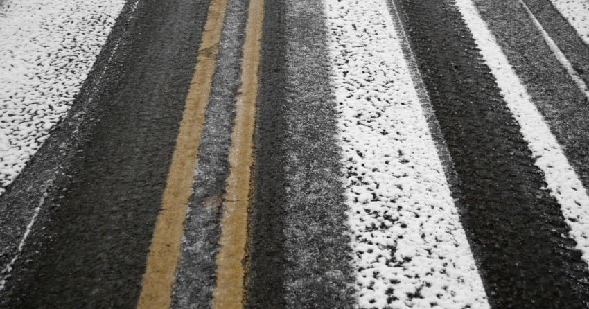
Winter driving is inching closer and closer and it looks like what remains of this month will be more on the cool side.
A cooling trend is expected to make its way through this weekend, making rain and snow a possibility.
Meteorologist Wesla English says that it wouldn’t be a surprise if we see some high elevation snow on Saturday night or Sunday.
“Freezing levels may come down between 1400m and 1700m Saturday night or early Sunday morning with cooler air moving in from the north,” she says.
If you have to travel on the high elevation highways this weekend, make sure you stay updated on road reports and the weather forecast.
This coming Monday also marks the first day that winter tires or chains will be required on most routes in B.C.
Winter is coming!


