Winter isn't going anywhere anytime soon.
Environment Canada has issued a special weather statement for multiple regions in the B.C. Interior this weekend, including the Okanagan Valley.
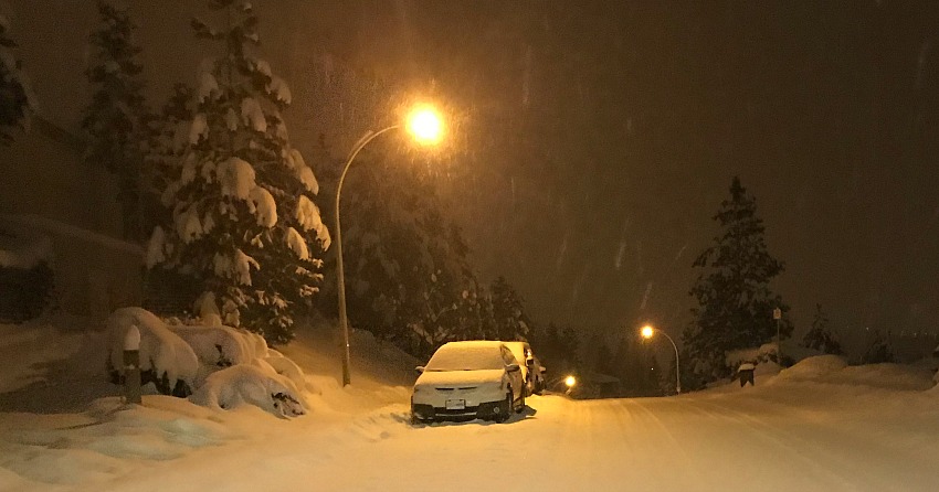
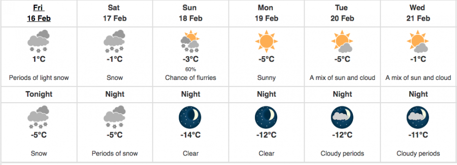
The alert calls for significant snowfall, followed by a strong surge of arctic air that will continue into next week.
"A strong Pacific low-pressure system will move eastward across Washington State on Saturday," the alert reads. "Snow is forecast to begin early in the day and persist through Saturday night."
"At the same time, a fresh blast of Arctic air will arrive Saturday night bringing strong winds and areas of blowing snow."
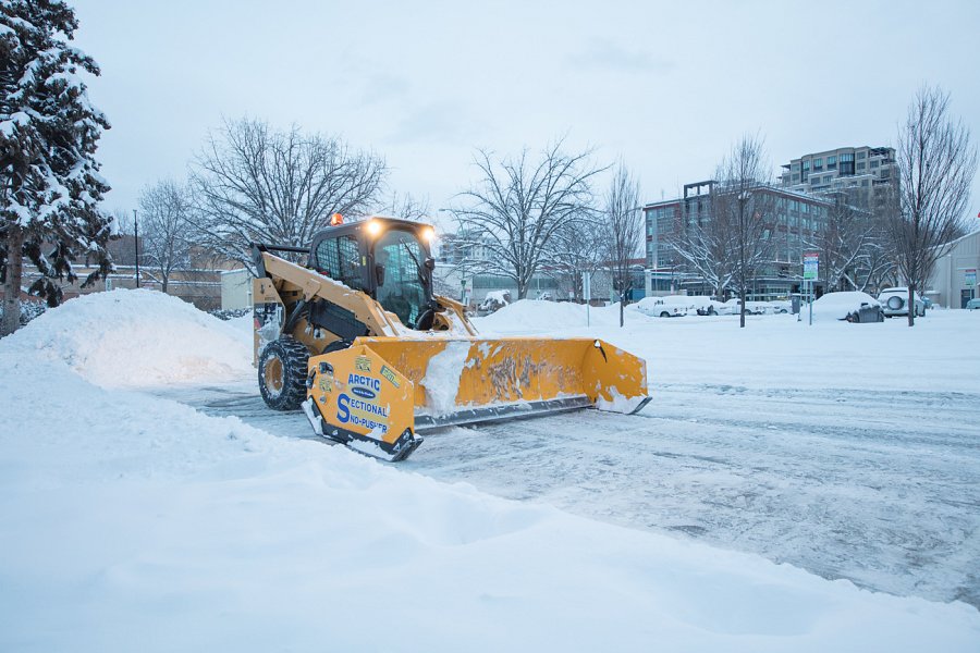
A total of 10 to 20 centimetres of snow is expected and it'll be another windy weekend throughout the valley.
The snow shouldn't continue into next week, but the cold temperatures will.
Kelowna is looking at overnight lows of between -11°C and -14°C between for most of the week, and highs in the negatives as well.