(UPDATE: June 9) - Evacuation alerts that remained in place for 1,136 properties in the Boundry region over the weekend have officially been rescinded.
Stretching from Camri on the West Kettle River to Christina Lake, the alerts were affecting about 2,200 people in the region.
Flood protection is expected to be gradually removed over the coming days and weeks, but residents are advised to keep sandbags in place until the end of freshet runoff.
“The high numbers connected to our snowpack don’t tell the whole story. There are two sites, Big White and Grano Creek, which still show snow, but across the Boundary we are starting to see most sites melted out. Our main risk factors in this freshet are what they’ve always been – how warm it gets and how fast, and how much warm rain we get at any one time, especially on top of that melting snow,” said Mark Stephens, EOC Director.
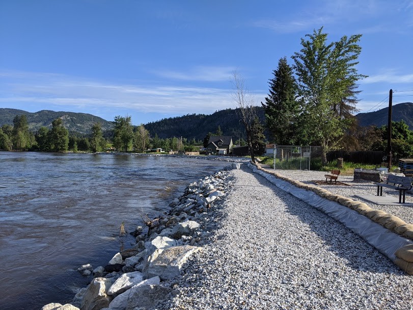
The RDKB and the City of Grand Forks will gradually start removing Tiger dams and earthen berms in stages in the Grand Forks area, beginning with flood protection in front of downtown businesses.
(UPDATE: June 4) - The Regional District of the Kootenay Boundry has rescinded the remaining evacuation orders for properties in the Grand Forks area.
However, evacuation alerts are still in place for 1,136 properties in the Boundry region stretching from the West Kettle River to Christina Lake.
Officials say those alerts will stay active at least through the weekend until rain in the forecast passes.
“The weather forecast today does include some rain for the weekend coming up and because we can’t say exactly how much rain with any certainty today, flood protection works in the City of Grand Forks will remain in place as will our evacuation alert for low-lying areas,” said Mark Stephens, EOC Director.
Anyone in the area is being warned to avoid the edges of watercourses and to report any erosion or flooding to the Provincial Emergency Coordination Centre.
(UPDATE: June 2) - The Regional District of the Kootenay Boundry has rescinded evacuation orders for 127 properties in the City of Grand Forks.
The properties remain on evacuation alert due to flood water in the area, existing flood threat or lack of access to homes.
“Our focus today has been to get as many people back into their homes as soon as possible so these residents can return to some sense of normalcy. We are keeping our evacuation alert for over 1,000 properties in place for now due to rain in the forecast for the coming weekend,” said Mark Stephens, EOC Director.
According to the district, threats from flooding have diminished throughout the Boundary region and the BC River Forecast Centre has downgraded its Flood Warning to a High Streamflow Advisory.
(Original Story: June 1) - A weekend of heavy rainfall has forced hundreds out of their homes in southeastern BC.
The province's River Forecast Centre reports that 10-50 mm of rain drenched the region between Saturday and Sunday, prompting a flood watch warning for Kettle, West Kettle, and Granby rivers in the Grand Forks area.
On Monday afternoon, the Regional District of Kootenay Boundary issued evacuation orders for 171 more properties in the Grand Forks, with a total of 1,137 properties in the region on an evacuation alert warning.
According to the district, the Kettle River system is expected to reach between a five- and 10-year peak by Monday afternoon.
In 2018, the Kootenay Boundary region faced massive flooding that forced nearly 2,500 residents from their homes as the Kettle River system rose 30 cms above its 200-year-old records.
For up to date information on flood warnings across BC, click here.


